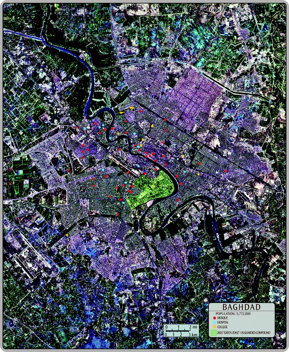
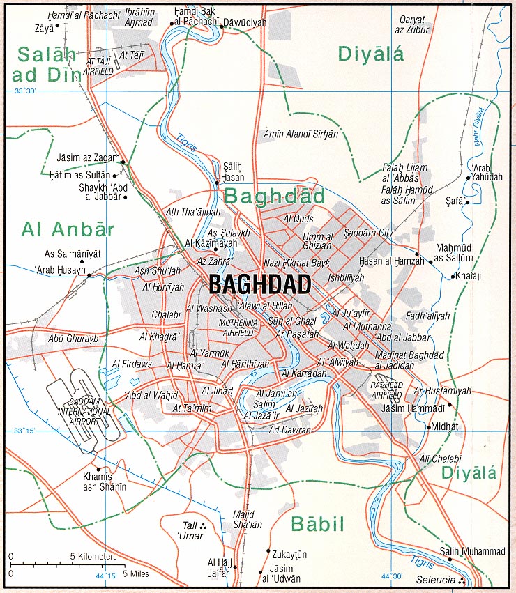
Map of Baghdad
| This Map is from: The Middle East - An Educational Wall poster. |
|
| Back to Maps of the Middle East |
|
Map Sources: 1. US Geological Survey EROS Data Center, Aerial Photo, "Baghdad Iraq (1/27/91)". 2. Perry - Castañeda Library, University of Texas, Downtown Baghdad - http://www.lib.utexas.edu/maps/middle_east_and_asia/baghdad_inset_2003.jpg Central Baghdad - http://www.lib.utexas.edu/maps/middle_east_and_asia/baghdad_98.jpg 1998 3. US National Imagery and Mapping Agency - Baghdad. www.hiciraq.org/mapcentre/geographic/cityplans/baghdad/index.asp Copyright 2003 The Knowers Ark Educational Foundation |